


Et un frein en moins

jfcontour
User

Length
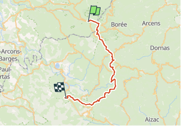
41 km

Max alt
1577 m

Uphill gradient
912 m
Km-Effort
54 km

Min alt
1048 m

Downhill gradient
1208 m
Boucle
No
Creation date :
2024-06-12 07:44:47.0
Updated on :
2024-06-12 16:43:22.566

FREE GPS app for hiking
 SityTrail
IGN / Geographical institutes
SityTrail Plus
The world is yours!
About
Trail of 41 km to be discovered at Auvergne-Rhône-Alpes, Haute-Loire, Les Estables. This trail is proposed by jfcontour.
Description
Plop
Positioning
Country:
France
Region :
Auvergne-Rhône-Alpes
Department/Province :
Haute-Loire
Municipality :
Les Estables
Location:
Unknown
Start:(Dec)
Start:(UTM)
591234 ; 4972929 (31T) N.
Comments